About Spatializing Poverty
About Spatializing Poverty
Funded by National Science Foundation Grant #1352435
Spatializing Poverty is a collaborative research project led by principal investigator Mona Atia and based upon a National Science Foundation research grant entitled “The Impact of Poverty Mapping on the Geography of Development.” Based on extensive fieldwork in Morocco and France, the project unpacks the contextual aspects of poverty hidden behind poverty maps and aggregate indicators, explores the spatial patterns associated with poverty mapping as an intervention, and how these maps mask layers of scaled politics regarding policies that target the poor.
Where We Work - Morocco
Research was conducted using a scalar approach, from the national down to specific villages. We focused on the communes of Ighil Mgoun, Iknouen and Ait Ouassif within the province of Tinghir, region of Drâa-Tafilalet. We also conducted research in Khimessat province, Rabat and Mohammadia.


France
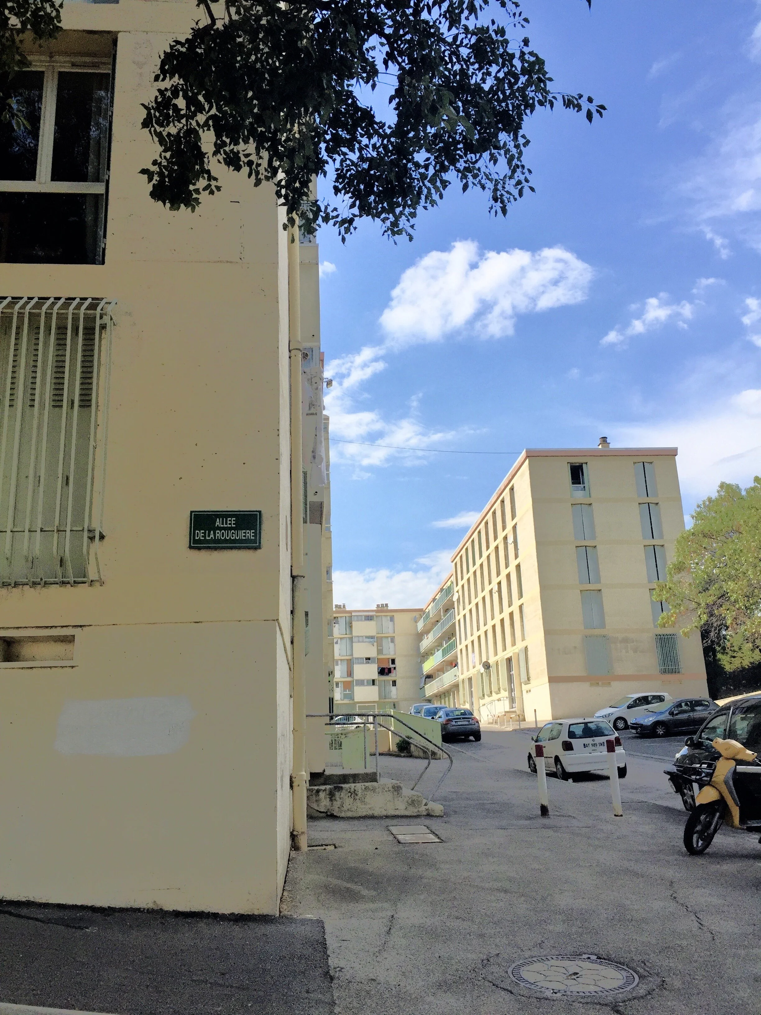
Research was conducted in using a scalar approach, beginning at the national level and then moving to two case studies— Roubaix (Lille metropole), the poorest city in France and Marseille, the city with the poorest neighborhoods in France.
Our Collaborators
Based out of the Geography Department at the George Washington University, the spatializing poverty project has partnered with:
Association Ighil pour le Développement de la Population Montagnarde (Morocco)
Le CHERPA Science Po Aix (France)
The Institute for Middle East Studies (George Washington University)
The Humanitarian Mapping Society (George Washington University)


